
Search a Hamilton Township Street Directory
Hamilton Township is in Warren County, so the strongest address trail starts with the county rather than a city office. Enter the street name in the Warren County Auditor search, then add a number once the right result is clear. The property record gives a current parcel, account number, physical address, legal description, subdivision and lot information. Those fields identify land and recorded ownership. They are not a complete list of everyone who may be connected to that address.
Keep the street number, road type, directional wording, postal label, and the Hamilton Township jurisdiction in your notes. A Maineville, Loveland, Morrow, Goshen, South Lebanon, or Lebanon label can appear on a Warren County result without deciding the township. Compare the Auditor township or tax-district information with the GIS parcel instead of relying on an envelope-style address. That extra check prevents a by-street search from drifting into another jurisdiction.
- Search the address in the Warren County Auditor Property Search and save the account number, 10-digit parcel number, situs address, legal description, and current owner label.
- Open the parcel in Warren County Online Mapping to compare its boundary, street geometry, lot lines, and available map layers.
- Send the parcel number to the Recorder's AVA index, then compare the instrument's dates and legal description before connecting it to the same lot.
- For an official street or precinct question, use the Warren County Board of Elections report options in their stated public scope rather than treating one voter lookup as a street roster.
- For older local context, use the County Records Center, WCGS, census, newspapers, or Township cemetery records after the parcel and road name have been matched.
Note: Record the search date and the parcel identifier, since a parcel can later split, combine, or receive a different address.
Hamilton Township Street Directory in the Auditor
The Auditor is the current property layer for an address search. Its Address mode accepts a street name alone, a street number with a street, or as little as the first three letters of a street name. Name, Parcel ID, Account Number, Subdivision or Lot, and Advanced Search provide other ways to recover an address when the first search is too broad. The result list shows account number, owner name, parcel number, physical address, subdivision, and lot, with sorting and filtering controls.
Use the physical address to locate the parcel and the owner label to identify the tax-record party. Save both, but do not collapse their meanings. The Property Summary can also expose the legal description, tax district, school district, sale history, and a Recorder Data link by parcel number. Those are useful clues for a street-by-street record trail, especially when a subdivision has many similar addresses.
The Auditor's address-search form is shown below with its number-and-street controls.
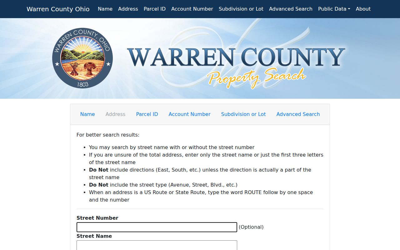
A partial street name can help locate a road before an exact number is known, then the parcel number becomes the more stable key for later checks.
| Auditor field | How to use it by street | Important limit |
|---|---|---|
| Street Number | Optional refinement after a street-name search. | It is not required when the number is uncertain. |
| Street Name | Enter a full name or the first three letters. | Use the returned parcel to confirm the exact road. |
| Parcel Number | Carry the 10-digit value into Recorder AVA. | Parcel boundaries can change over time. |
| Subdivision or Lot | Match a property to a plat and legal description. | A subdivision label does not prove a household connection. |
| Advanced Township and ZIP | Narrow a search to Hamilton Township when needed. | ZIP and postal city are not jurisdiction proof. |
Map Hamilton Township Streets Parcel by Parcel
After finding an address, use the County GIS as a geography check. The Auditor-configured map provides Search, Layers, Legend, Draw, Measurement, Print, zoom, home, and locate controls. Parcel boundaries and street geometry help confirm that the account selected in a Hamilton Township by-street search is on the intended block. Capture the map date and the layer used. The County also identifies historic aerial products for 2000, 2005, 2008, 2014, and 2018, which can document a site change.
Map adjacency identifies land that touches or lies across from another parcel. It does not prove that people know each other, share a household, or are present at either location. For a subdivision question, compare the GIS parcel with the Auditor legal description, then find the recorded plat in the Recorder index. Lot and block references are often more durable than the order of street numbers.
Note: A map pin is a location aid, while the parcel, plat, and instrument identify the record that supports a conclusion.
Hamilton Township Records by Street
A Hamilton Township address search draws from several address-keyed systems, and each answers a different question. The Auditor provides the current parcel context. GIS puts that parcel in its physical setting. The Recorder supplies recorded instruments and the Township can hold a permit, zoning, or other existing local file. The Board of Elections maintains separately governed report options. Follow the record type, not the hope that one portal will answer every question.
| Address record | Custodian | What it can show | Access channel |
|---|---|---|---|
| Current parcel card | Warren County Auditor | Owner label, situs, parcel, legal description, sale and tax details. | Free online search or Auditor office, 513-695-1235. |
| Parcel map and aerials | Warren County GIS | Boundary, street and lot context, available historic imagery. | Online map and County GIS services. |
| Deed or plat | Warren County Recorder | Recorded parties, dates, book/page, parcel and legal description. | AVA online index or Recorder counter at 406 Justice Drive. |
| Permit or zoning file | Hamilton Township or County Building & Zoning | Existing project, application, or land-use record for a defined address. | Township portal or a focused request; county office when applicable. |
| Street or precinct report | Warren County Board of Elections | Published report paths for streets, households, districts, elections, and precincts. | Board reports page and Board office. |
The Recorder's own search instructions say to start with the Auditor's 10-digit parcel number. AVA has Party, Date/document, Book/Page, and Parcel paths, but no active direct address, municipality, ZIP, subdivision, or tract search. That limitation is why a solid by-address result begins in the Auditor portal rather than trying to type a street into AVA.
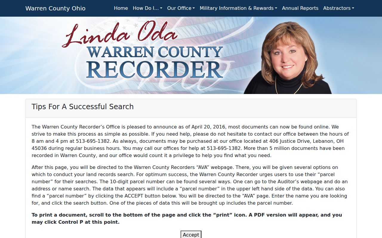
Once AVA returns an instrument, check its image and legal description before treating it as the same property, particularly where parcels were replatted or combined.
Hamilton Township Street Address Fields
Insider tip: The Auditor and GIS distinguish a property address from a tax mailing address. The property, also called the situs, tells you where the parcel is located. The mailing field tells you where tax correspondence is sent. It may point to another property, a post-office box, an estate, an agent, or a business. It is evidence of correspondence, not proof that a person is physically at that address.
This distinction matters in every Hamilton Township address search. Keep the situs, mailing address, postal city, ZIP, township or tax district, parcel number, and legal description as separate columns in a research note. A modern map search may find the first field quickly, while an old deed or plat may require the last two fields to bridge road-name changes.
- Parcel
- A county land unit with an identifier used by the Auditor, GIS, and Recorder systems.
- Situs address
- The physical street location assigned to a parcel, used to locate land rather than prove a person's presence.
- Plat
- A recorded map that lays out a subdivision, lots, streets, or easements.
- Legal description
- The lot, tract, subdivision, or survey language that links a deed to land when an address changes.
Hamilton Township Permits by Parcel Address
The Township's iWorQ permit search is an address-focused local channel. It exposes Permit #, Permit Date, Parcel Address, Primary Contractor, Start Date, and End Date, with result columns for number, date, type, status, inspection request, and view. A permit can date a project or lead to a particular file. It does not create a complete people record for the address. The companion code-case portal has an Existing Code Cases search, but the exact public search choices and historic coverage were not verified.
Use the Township's records policy for a narrow existing file, such as permits and certificates for a named address during a stated period, a zoning application, a BZA decision, a road-vacation file, or a subdivision plat. The policy follows the Ohio Public Records Act, and exemptions or redactions can apply. County Building & Zoning is an alternate source where it has jurisdiction; its office is at 406 Justice Drive, Building Inspection Room 167, Lebanon, with telephone 513-695-1290.
The Hamilton Township permit-search screen shows the available address and date choices.
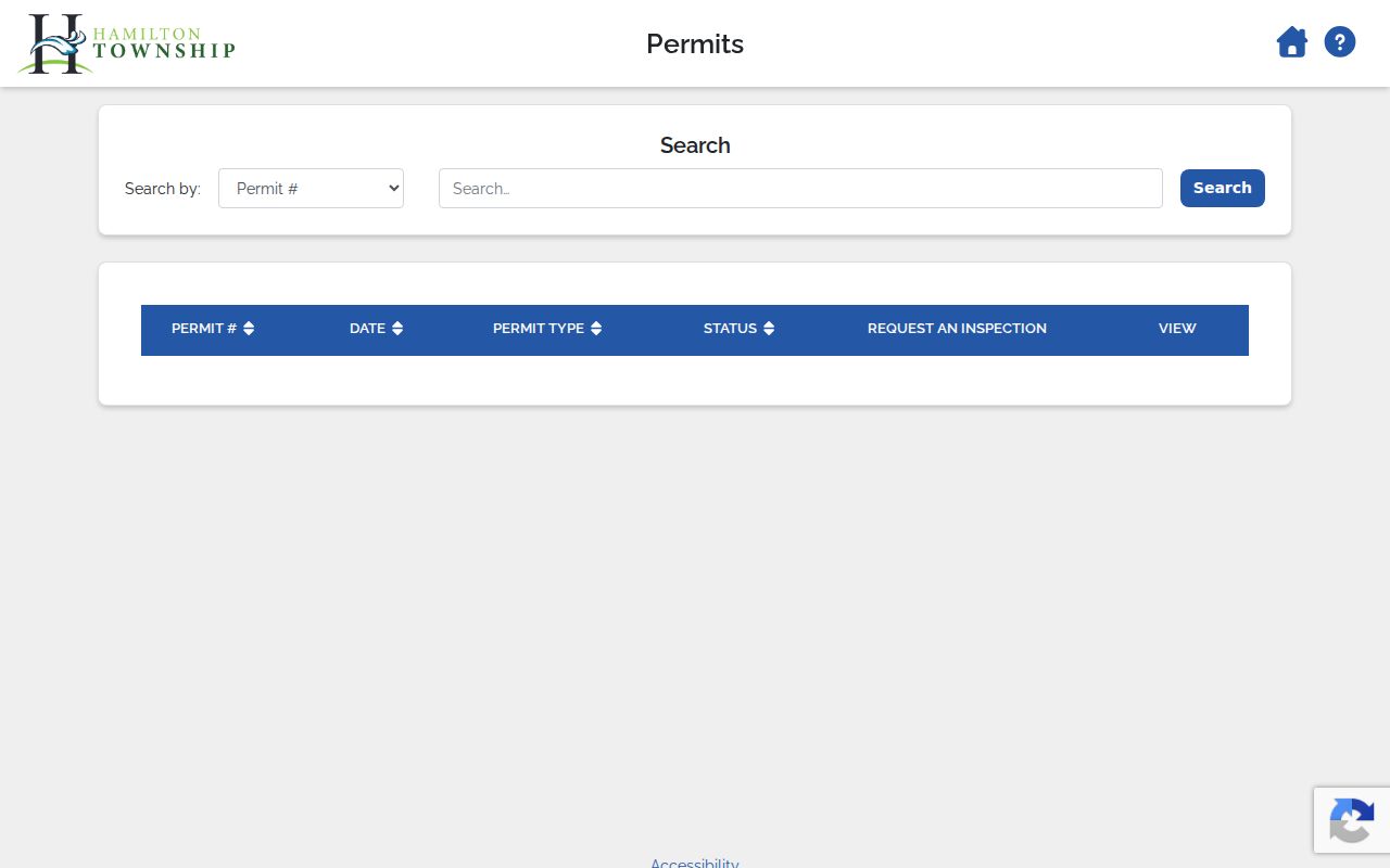
Pair a permit result with the parcel number and its record date, then ask the responsible custodian about any available underlying file.
Old Roads Shape a Hamilton Township Street Search
Historic Hamilton Township references often predate today’s numbered addresses. The Township plan connects Cincinnati and Montgomery Pike with U.S. Route 22/3, Murdoch Pike with State Route 48, Fosters Crossing–Loveland Road with Butterworth Road, and Maineville and Fosters Crossing Road with Fosters-Maineville Road. An early land description can also use a tract, creek, survey, or settlement reference instead of a house number. Search the old and current road names, then prove the bridge with the parcel, plat, deed, or survey record.
Virginia Military District surveys begin in the local record story before modern address patterns. The Recorder says deeds are indexed online through 1797, while WCGS holds grantor/grantee and grantee/grantor deed indexes for 1799–1832. Those are source-specific routes, not one universal start date. For a difficult road translation, the Records Center & Archives can research records 75 years and older in its collection, and WCGS can guide longer historical work.
The Township’s comprehensive-plan materials provide useful local context for road and development history.
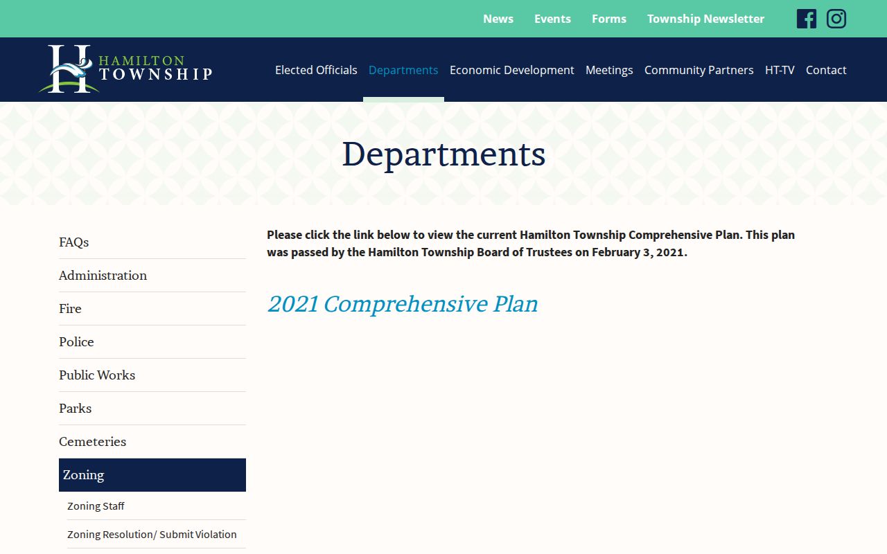
Use the plan as a road-history clue, then rely on the recorded legal description and plat to tie an earlier reference to a current parcel.
Note: Do not force an old road name onto a modern address when the deed, plat, or survey leaves the connection unresolved.
Hamilton Township Street Election Geography
When a narrow election-record question is relevant, the Warren County Board of Elections reports page lists voter walking, household, district, election, party, street-range, precinct, polling-place, and registration-total report paths. The state’s My Voter Information form is different: it requires first name, last name, and county, with a possible street-name narrowing field after the initial search. Select Warren County for Hamilton Township rather than a mailing-place city.
Ohio law excludes sensitive registration data from public access, and Safe at Home participants are removed from public database and list outputs. A blank result can reflect spelling, timing, a different county, cancellation, or lawful confidentiality. Use a Board report only within the output and purpose the Board publishes. It is not a reason to assemble a personal profile from unrelated records.
Hamilton Township Street Research Notes
A careful Hamilton Township street-record search needs a short evidence log. Write down the query as entered, the date, the system, the parcel or account number, the deed instrument or book/page, the map layer, and the reported scope. That record makes it easier to distinguish a negative result from a spelling variant, changed road name, address range, parcel split, protected address, or a record that was never placed in that system.
Send a correction to the office that owns the field. The Auditor maintains the property roll, the Recorder maintains recorded land instruments, the Board of Elections manages election records, and the Township holds its own zoning, cemetery, police, and operational records. Under the Ohio Public Records Act, a focused request for an existing Township record is more useful than a request to assemble a new list of people on a road.
Limits of a Hamilton Township Street Directory
A parcel owner, map label, deed party, permit applicant, or voter result each describes only the record at hand. None supplies a full household list. Utility accounts, delivery information, medical records, school records, phone and email fields, protected addresses, and other nonpublic household data are outside this street-record process. Public systems also update on their own schedules, so save the visible date and return to the original custodian for a copy or correction.
For a historic household question, use dated records in sequence. The Records Center accepts short, specific requests for older county material, while WCGS offers its Resource Library at 406 Justice Drive on weekdays and links researchers to land, tax, obituary, cemetery, court, church, and census materials. The historical collection details belong with the Hamilton Township city directories, rather than being treated as a modern street roster.
Lawful use. Hamilton Township address records support personal, family-history, property, and civic research. Never use a street search to stalk, harass, intimidate, or harm anyone.