
Hamilton Township ZIP Coverage
Hamilton Township is a Warren County civil township, not the City of Hamilton. Its addresses use several nearby postal labels, while the county’s township or tax-district field identifies the local-government geography. The researched Auditor output showed six nonzero ZIP values for Hamilton Township. Those values are practical parcel filters, not an official Township boundary map. Neither the County nor USPS published a complete official polygon allocating every Township address to one ZIP, so each address still needs a live delivery and parcel check.
| ZIP | Areas Covered | Post Office | Notes |
|---|---|---|---|
| 45036 | Maineville label in inspected parcel output | Not identified in the researched official sources | A cross-boundary exception; verify both delivery and jurisdiction. |
| 45039 | Main Maineville-facing area; the Township office uses this ZIP | Not identified in the researched official sources | Core postal label, not a Township boundary. |
| 45065 | South Lebanon-facing overlap | Not identified in the researched official sources | Confirm the individual address through USPS and GIS. |
| 45122 | Goshen-facing overlap | Not identified in the researched official sources | The postal city does not decide the Township field. |
| 45140 | Loveland-facing overlap | Not identified in the researched official sources | Includes the published Murdock Cemetery postal example. |
| 45152 | Morrow-facing overlap | Not identified in the researched official sources | Use the Township criterion for local-government geography. |
A result with a Maineville, South Lebanon, Goshen, Loveland, or Morrow label may still be in Hamilton Township. The reverse can also occur. The Auditor’s Township field and the GIS parcel are the dependable local checks, while the ZIP is a mail-routing fact.
Note: The inspected account totals are search results, not population, voter-registration, or USPS delivery totals.
Check Hamilton Township ZIPs With USPS
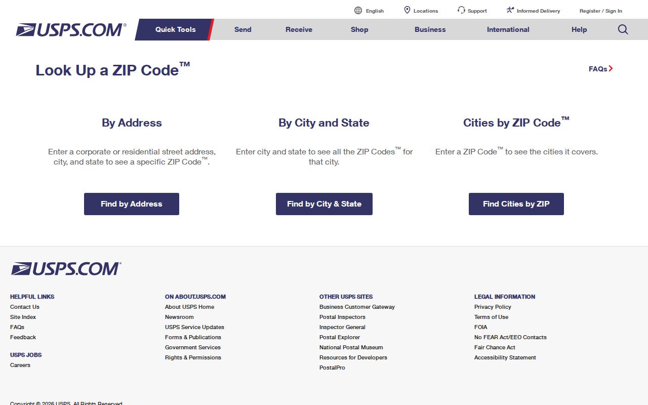
An exact delivery check comes before a ZIP-wide parcel query. Use the official USPS ZIP Code Lookup with the complete street address, including any directional term or unit when it applies. That result validates mail delivery for the address entered. It does not establish the Township, tax district, precinct, court venue, or parcel boundary.
The USPS lookup is the source for the delivery check shown here.
After the postal check, compare the address against the Warren County parcel record. Keeping the mail result separate from the Township field prevents a nearby postal-place name from sending a Hamilton Township search to the wrong custodian.
Filter Hamilton Township by ZIP
The Warren County Auditor Advanced Search is the verified ZIP-capable local tool. Add Township = HAMILTON first, then add Zip Code with a Starts With or Contains comparison. The result is a parcel-account set. It can help find property records in a Hamilton Township postal area, but it does not identify every person at those addresses.
The Auditor’s Advanced Search displays the selected-field criteria interface used for a Hamilton Township ZIP query.
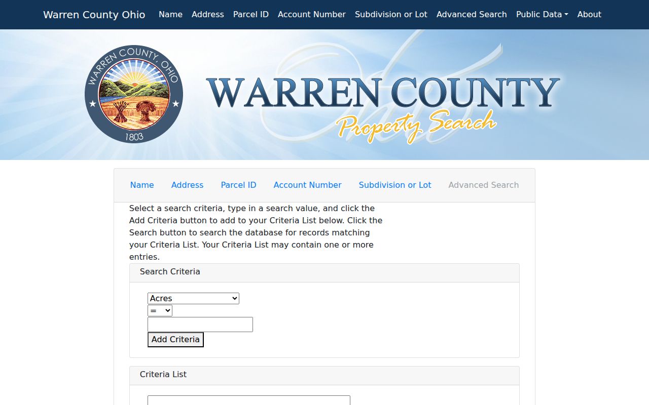
The image shows why two criteria matter. A ZIP alone reaches beyond Hamilton Township, while the Township field controls the county property geography. Save the processing date and displayed count because live results change.
| Advanced-search field | How it helps a Hamilton Township ZIP search | Limit |
|---|---|---|
| Township | Set it to HAMILTON to isolate the Township from similarly named places. | It identifies property geography, not a postal route. |
| Zip Code | Use Starts With or Contains after choosing the Township. | A ZIP result is a parcel-account filter. |
| Street Name | Refines a ZIP result to a road when the address is partly known. | Road names can change in historic material. |
| Owner Name | Finds tax-record ownership entries inside the selected criteria. | Owner and occupant are different facts. |
| Parcel Number | Connects a result to GIS and Recorder records. | Parcels can split, combine, or be renumbered. |
Once the ZIP has narrowed the area, the Hamilton Township street directory provides the fuller address-by-address path. For a postal question, the advanced search is more useful than a name-only voter form, which requires first name, last name, and Warren County rather than a ZIP filter.
Hamilton Township ZIP Glossary
A strong Hamilton Township postal search keeps postal terms apart from property and government fields. USPS uses these terms for mail delivery. Warren County uses the Auditor and GIS Township or tax-district fields for the local-government question.
- ZIP
- A five-digit USPS delivery code. It is a mail-routing fact, not a Township boundary.
- ZIP+4
- An added four digits that narrow delivery routing for a particular address or delivery segment.
- PO-box ZIP
- A ZIP used for post office box delivery. No local PO-box-only inventory was verified in the researched sources.
- Unique ZIP
- A ZIP assigned for a single organization or destination. No Hamilton Township unique-ZIP inventory was verified.
- Carrier route
- A USPS delivery sequence. It does not decide a parcel, court, precinct, or Township jurisdiction.
The Auditor and GIS distinguish the property address from the tax mailing address. The property address locates the parcel. The mailing address shows where tax correspondence is sent, which can be a post office box, agent, estate, or another property. Record those values, postal city, ZIP, Township or tax district, and access date separately.
Hamilton Township ZIPs Stop Before AVA
Recorder AVA is valuable after a parcel is identified, but it is not a ZIP search. The Recorder’s search guidance directs researchers to the 10-digit parcel number, and AVA works through parcel, party, document, book, page, and legal-description evidence. The Recorder reports that deeds are indexed online through 1797, making AVA an important next step for recorded land instruments once the Auditor has supplied the parcel bridge.
Start with the ZIP and Township criteria only to find a relevant parcel. Then open the Auditor record, note the parcel number and legal description, and use the Warren County Recorder AVA search for the deed or plat trail. If the index cannot resolve a particular instrument, take the parcel, book or page, and document details to the Recorder counter for that specific record. The order matters because modern address labels may not appear in older instruments.
Search Hamilton Township ZIP Parcels
A ZIP-based search works best as a short, repeatable property workflow. It begins with delivery validation, then narrows the county roll, and ends by checking the individual parcel rather than assuming every result reflects a household.
- Verify the exact address and ZIP with USPS.
- Open the Auditor Advanced Search and select Township = HAMILTON.
- Add the Zip Code criterion using Starts With or Contains, then save the query date and result count.
- Open an individual parcel to compare its property address, tax mailing address, account or parcel number, legal description, and tax district.
- Use the Warren County Online Mapping view for parcel context, then move to Recorder AVA if the recorded land trail matters.
The Warren County Board of Elections offers street-range, precinct, household, and other report paths, but the research did not verify a ZIP-filtered voter route. Its official tools use election geography, which is different from the Hamilton Township directory’s postal and parcel focus.
Note: When a portal does not match the address, retain the spelling, criteria, date, and blank result before trying an alternate postal label.
Hamilton Township ZIPs and Precincts
Postal codes and election records use different geographic systems. The official Ohio My Voter Information form requires first name, last name, and county, then may use a street name to narrow a result. Select Warren County for a Hamilton Township search. It does not begin with a ZIP field, and its public lookup should not be treated as a ZIP-wide directory.
The Warren County Board of Elections also lists public report paths for street ranges, precincts, households, districts, elections, and voter-walking. Those reports can answer an election-geography question within their published scope, but a precinct is not a parcel boundary and a ZIP is not a precinct. Keep the address, parcel, ZIP, Township, and precinct as separate notes when more than one public system is involved.
Ohio law excludes sensitive voter fields from public data, and Safe at Home participants are excluded from the public statewide voter database and registration list. If a name does not appear, do not use a postal clue to speculate about the reason.
Historic Hamilton Township ZIP Clues
Postal codes cannot solve an older address by themselves because they are modern mail constructs. Hamilton Township planning material links several older road names to current ones: Cincinnati and Montgomery Pike to U.S. Route 22/3, Murdoch Pike to State Route 48, Fosters Crossing–Loveland Road to Butterworth Road, and Maineville and Fosters Crossing Road to Fosters-Maineville Road. Early descriptions may instead use a tract, creek, settlement name, or legal description.
For an old road reference, work from the present parcel to the Recorder legal description, historic aerials, plan road-name tables, and archives. Use USPS last, only to validate a current delivery address. A historic record should not be assigned a modern Hamilton Township ZIP without a documented bridge.
Hamilton Township ZIP Boundaries
Hamilton Township ZIP boundaries and Township limits do not match. The Township office uses a Maineville 45039 address, yet county parcel results also use Lebanon, South Lebanon, Goshen, Loveland, and Morrow labels. That is why postal city, ZIP, and Township should remain separate fields in a research log. The 45036 exception in the inspected output illustrates how a small exception can defeat a pattern-based search.
No researched official source supplied a local inventory of PO-box-only ZIPs, unique ZIPs, post-office stations, or a historical ZIP realignment for Hamilton Township. Treat those as live questions for USPS or the relevant postal authority, not facts to infer from parcel counts. The county property records can establish parcel geography; they cannot publish a complete delivery-boundary map.